Thermal and visual drone inspections for buildings, utilities, and infrastructure. Roofs and building exteriors often show early signs of damage that aren't easy to access. Our drones get the detailed view without putting anyone on a ladder, a lift, or the structure itself.
Coverage includes roof and building exteriors, power line and utility inspection along distance and terrain, bridge and infrastructure surveys of joints, supports, and surfaces, and wind turbine inspection: tall, complex structures that are dangerous and time-consuming to inspect manually.
An inspection isn't a folder of photos. It's imagery indexed to the structure, with the defects marked and a summary a non-pilot can read.
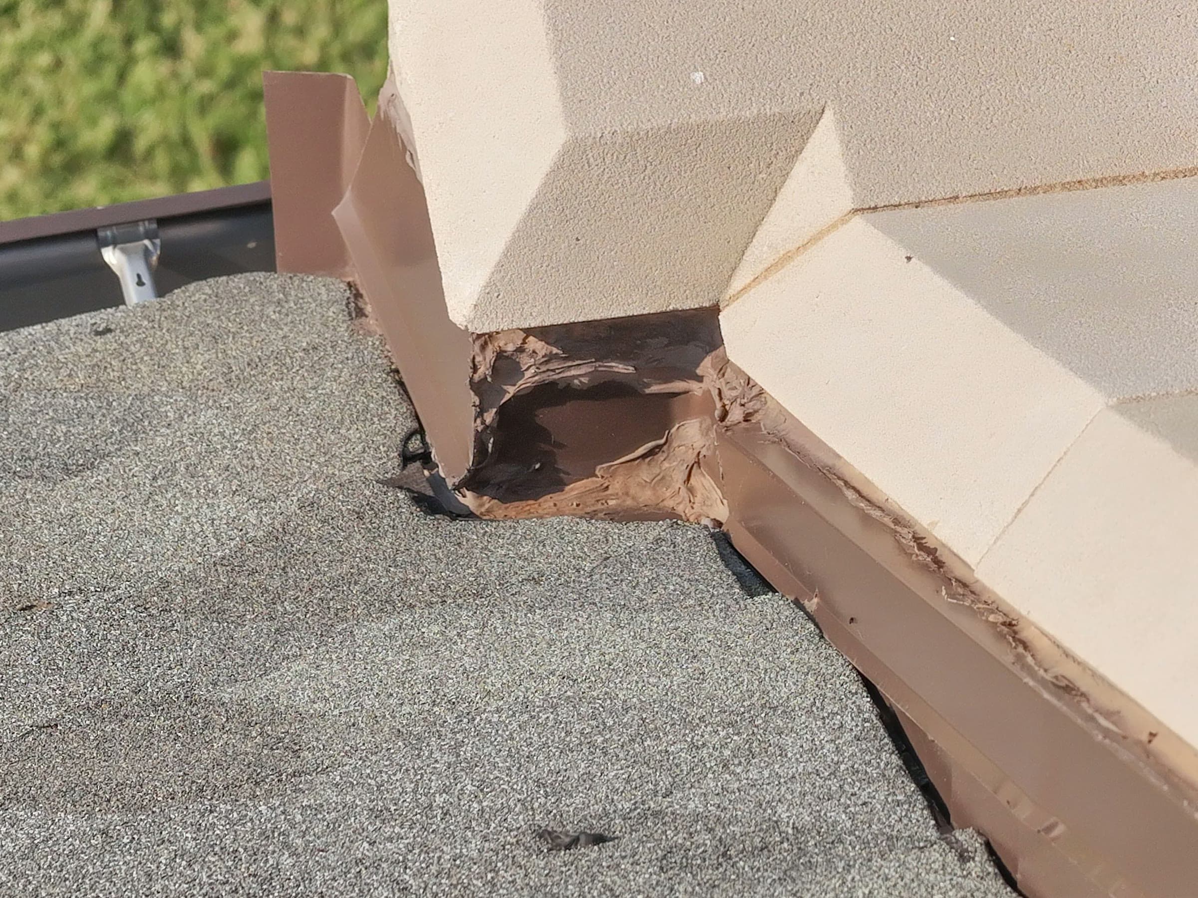
High-resolution stills of every elevation, joint, seam, and penetration, shot close enough to resolve the defect rather than imply it.
Each defect marked on the frame and located on the structure, so a reviewer can find it again without having been on the flight.
A written summary of what was found, where, and how it was captured — the document that goes to the owner, the adjuster, or the board.
For roofs and large elevations, a stitched top-down map of the whole surface with findings pinned to real positions on it.
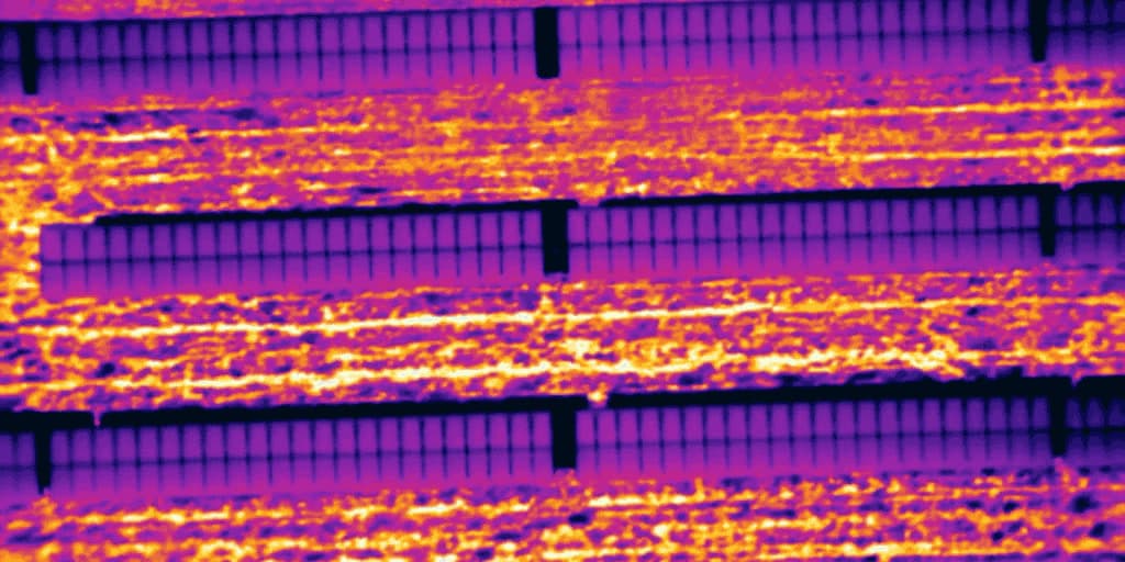
Where the structure warrants it, radiometric thermal captured alongside visual so a finding can be pointed at in both.
24-48 h
Typical turnaround
Zero
People on the structure
Part 107
Certified & insured
The point of an aerial inspection is that the risky part — the ladder, the lift, the tower — stops being part of the job. Everything else is method.
What's being inspected, what you're looking for, and what a finding needs to support: a repair scope, an insurance claim, or a condition record. That decides resolution, altitude, and whether thermal comes too.
ScopeAirspace check, obstruction survey, and a flight pattern that covers every elevation with overlap. Structures get flown to a grid, not circled until it looks done.
Part 107Systematic coverage at a fixed standoff so every frame resolves detail at the same scale, with close approaches on anything that reads as a defect on the monitor.
Visual · ThermalImagery reviewed off the aircraft, findings marked and located, and the whole thing written up in a form your engineer, adjuster, or facilities team can use.
24-48 hAnything tall, awkward, energised, or expensive to put a person on.
Membrane, flashing, penetrations, and façade — the early signs of failure that show up long before a leak does, on surfaces nobody can safely walk.
Conductors, poles, and hardware followed across distance and terrain, flagging damage, vegetation encroachment, and components running hot.
Joints, bearings, soffits, and supports photographed from underneath and alongside, without a snooper truck or a lane closure.
Blade surfaces, leading edges, and nacelle detail captured on a close approach. Tall, complex, and genuinely dangerous to inspect by rope.
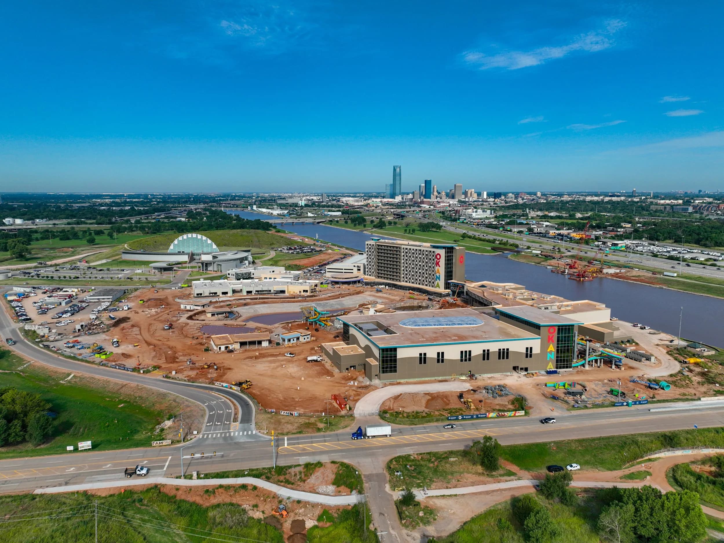
Roof, structure, utility, and turbine work across Oklahoma, including aerial roof inspection for Walcourt.
The value isn't the drone. It's that a defect gets found while it's still a repair — and that the evidence is good enough for the person who has to sign off on fixing it.
 Walcourt · Roof
Aerial roof inspection for Walcourt — full surface coverage without access equipment.
 Structure · Crack Detail
Close-approach detail on structural cracking, shot at a fixed standoff.
 Turbine · Blade
Blade and nacelle inspection: nobody on the tower, nothing on ropes.
Imagery and annotated findings are routinely used to support claims, because they show the defect, its location, and its extent more clearly than photos taken from a ladder. What an insurer needs beyond that varies by carrier and by claim, so tell us who the report is going to and we'll capture accordingly.
We capture, index, and report what's visible in the imagery. Where a structural or engineering opinion is required, that comes from your engineer working off the data — which is usually faster and cheaper than sending them up there first.
Almost always. That's most of the point — no scaffold, no lift, no lane closure, no shutdown. We coordinate access and flight timing with whoever runs the site so the inspection happens around normal operations.
Close enough to resolve the defect, at a standoff kept consistent so every frame is at the same scale and findings can be compared. For anything that reads as damage on the monitor we go in tighter for detail frames.
You hear about it that day, not in the report two days later. Anything that looks like an active safety issue gets flagged immediately and the written findings follow.
Yes — utility and electrical inspection is a large part of the work, and thermal is what makes it useful, because a connection running hot is invisible in a normal photograph. Flights around live infrastructure are coordinated with the asset owner.
Drones let inspectors document roofs, facades, bridges, and towers at close range without lifts, scaffolding, or rope access — faster, safer, and with a dated photographic record.
A guide to thermal-equipped drones: which platforms carry infrared sensors, the difference between radiometric and non-radiometric imaging, and what resolution you actually need.