FAA Part 107 certified inspection, mapping, and documentation for insurance, construction, utilities, engineering, and public-safety teams, built on credentials, accuracy, and the deliverable that holds up.
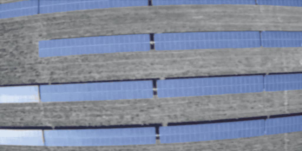
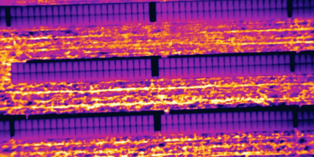
Solar array · Radiometric pass
● Visual● Thermal
ΔT +0.0 °C
In visible light, it's a clean pass.
Same array, same flight. Nothing for the eye to report.
The sensor disagrees.
Cells running hot show up before they fail, and land in the report with coordinates.
Every service below ends in something you can measure, review, and hand to an engineer, an adjuster, or an owner.
01 / 05
Drone Inspections
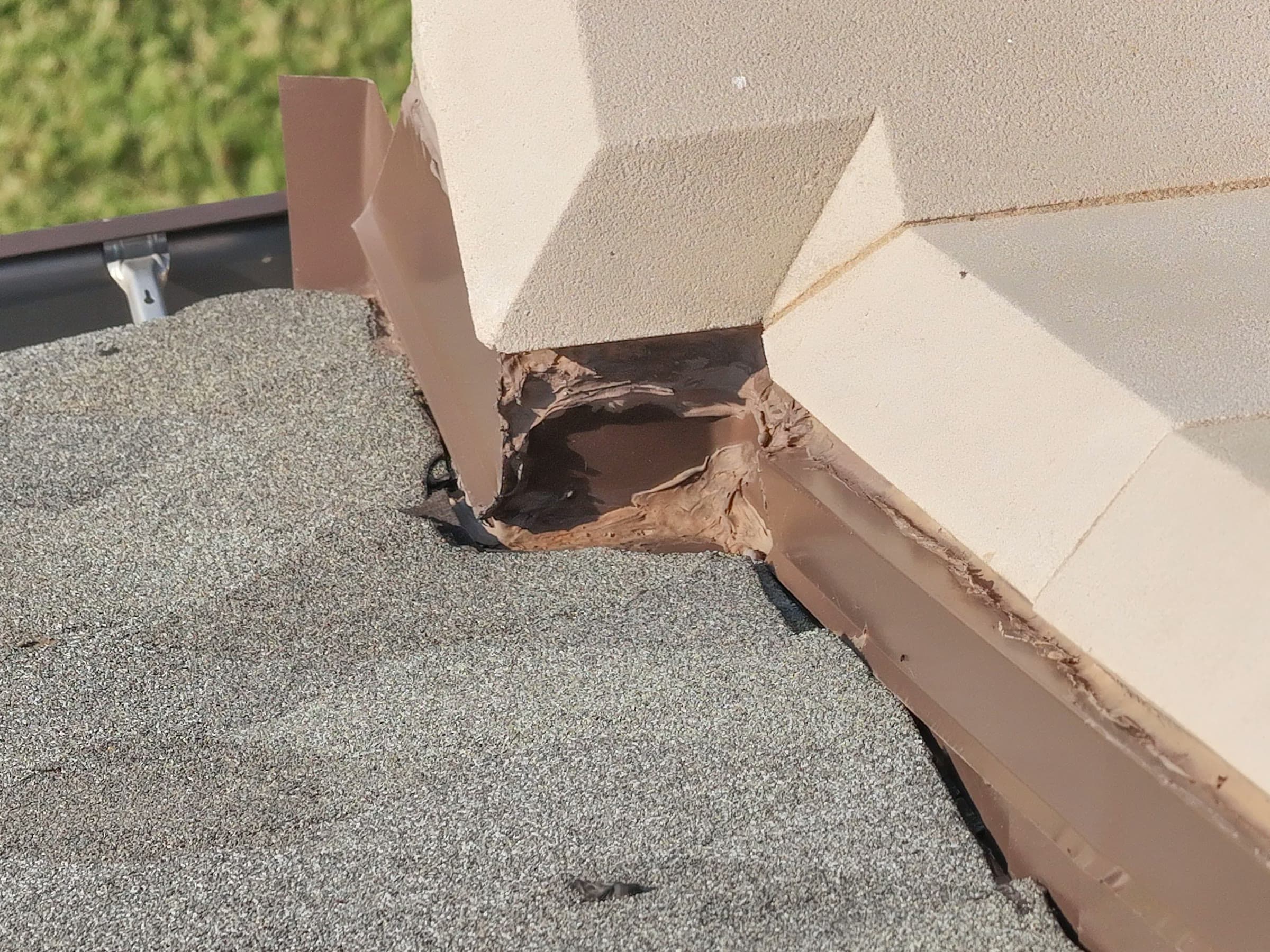
Roof, tower, bridge, and utility inspections: a safe, cost-effective alternative to manual access, catching early signs of damage that aren't easy to reach.
Thermal imaging that reveals heat loss, water intrusion, and electrical faults invisible to the eye, for roofs, utilities, solar arrays, and wind turbines.
RTK-enabled drone mapping producing high-resolution 2D orthomosaics, 3D point clouds, and terrain models compatible with Civil 3D, ArcGIS, Pix4D, and Drone Deploy.
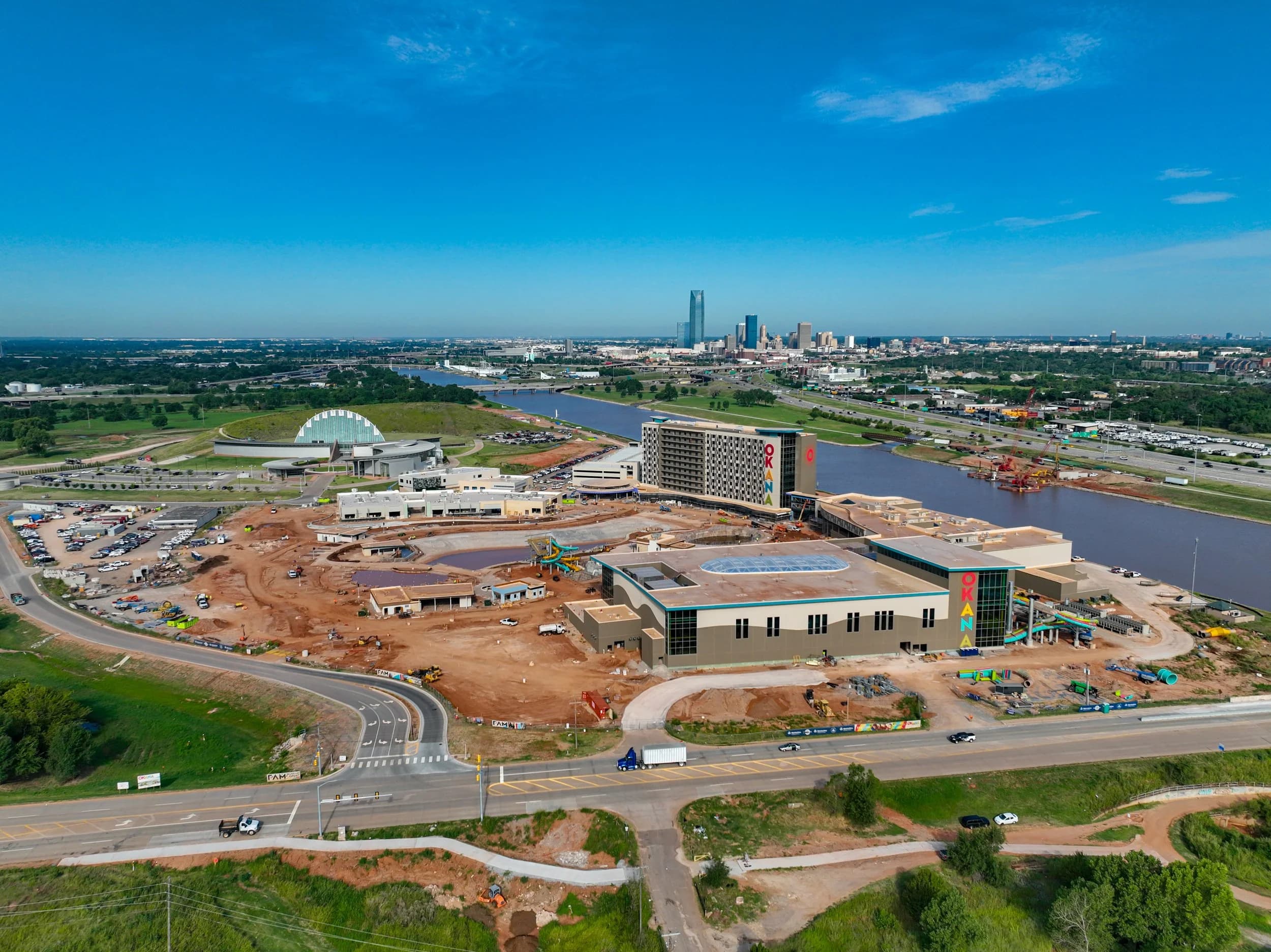
Repeatable site flights that turn a moving build into a record: high-resolution stills, measured orthomosaics, 4K video, and timelapse for owners, investors, and project teams.
Thermal- and AI-assisted search support for law enforcement, rescue teams, and private groups, with powerful spotlights and a loudspeaker system for real-time communication in the field.
Every flight ends in files: measurable, georeferenced, and in the format your team already works in.
Hundreds of overlapping aerial frames stitched into one georeferenced, measurable map of the site.
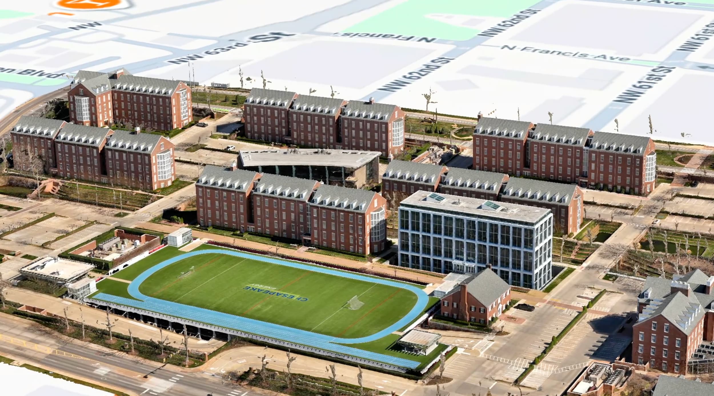
Millions of measured points, each a real location in space, built into a textured 3D model you can walk around and measure.
Digital surface and terrain models with contours, ready to drop into your existing CAD or GIS workflow.
Stockpile and earthworks quantities measured from the model instead of paced off on foot.
Radiometric thermal imagery paired frame-for-frame with visual, flagging moisture, heat loss, and electrical faults.
High-resolution stills of every joint, seam, and surface, annotated so a reviewer can find the finding without the flight.
Repeatable aerial stills, 4K video, and timelapse from the same positions, week over week, for owners and investors.
cm-level
RTK positioning accuracy
GCP
Ground-control verified
24-48 h
Typical turnaround
Before you scroll on
Tell us what has to be proven — a roof, a boundary, a monthly progress set — and we'll tell you what we'd fly and what file lands in your inbox afterwards.
A job here is a data collection, not a photo shoot. The sequence is the same every time, which is exactly why the numbers repeat.
 Flight planning
Airspace check, site risk planning, sensor selection, and ground control layout. Every flight is planned before the aircraft leaves the case.
Part 107 · InsuredRTK-positioned aircraft fly repeatable lines with the right sensor for the job: visual, thermal, or both in a single pass.
RTK · Thermal · 4KPhotogrammetry and radiometric analysis, checked against measured ground control points so the numbers hold up under review.
GCP verifiedFiles in the format your software already speaks, with a summary a non-pilot can read. Typical turnaround is 24-48 hours.
24-48 h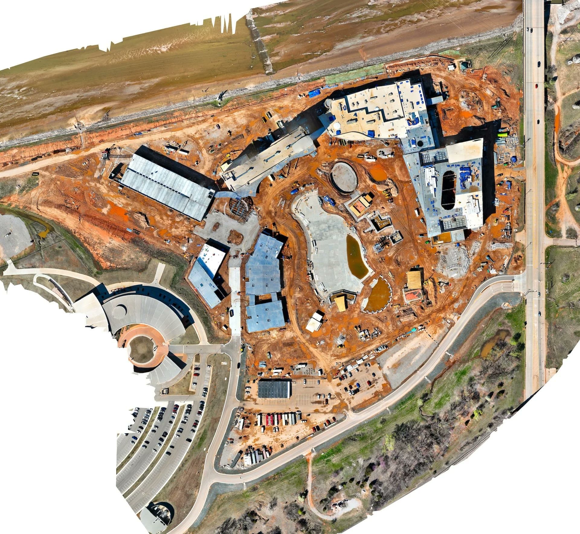
0
Deliverable Formats
0
Data Disciplines
0h
Typical Turnaround
Part 0
FAA Certified & Insured
0
Construction & Development Sites
0
GIS & CAD Platforms Supported
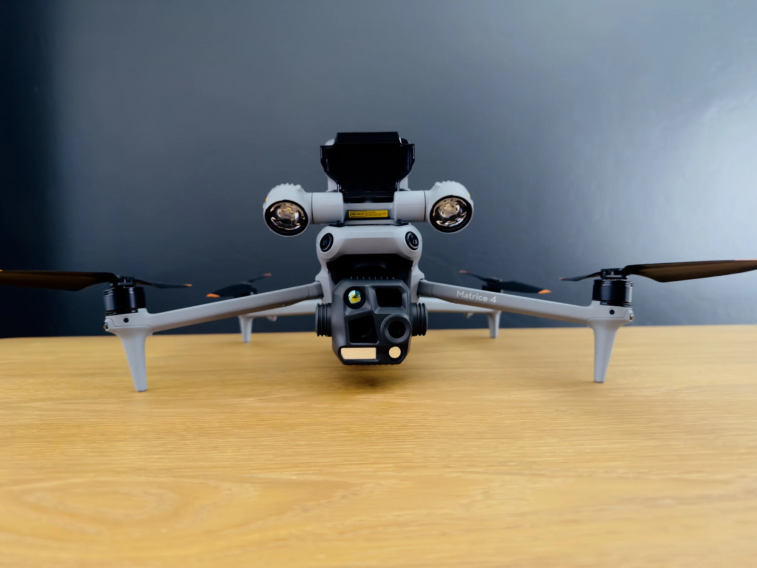
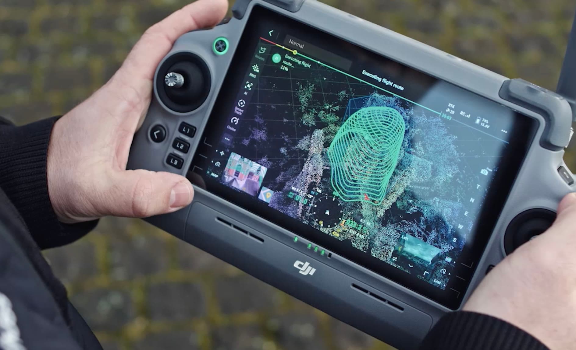
The aircraft is matched to the deliverable rather than the other way round: RTK-positioned mapping airframes for anything that will be measured, the DJI Matrice 4 Thermal for anything radiometric. That is why the same flight operation can stitch a resort-scale orthomosaic, scan a roof or a solar array, and fly a thermal search grid. Every job runs a planned route at a fixed altitude and overlap, which is also why a progress set from month one still lines up with month nine — as it has for Manhattan Construction, the Cherokee Nation, and the University of Oklahoma, from Oklahoma City to Tahlequah.
Who's flying itRecent flights across Oklahoma sites: maps, roofs, turbines, and a thermal search grid.
See all industrial workOKANA Resort · Orthomosaic
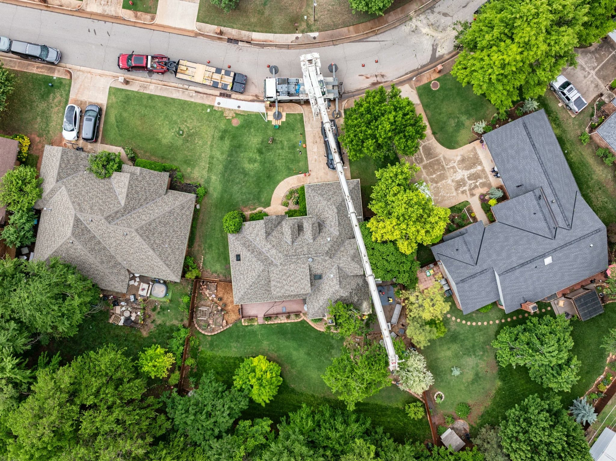
Roof Scan · Top-down
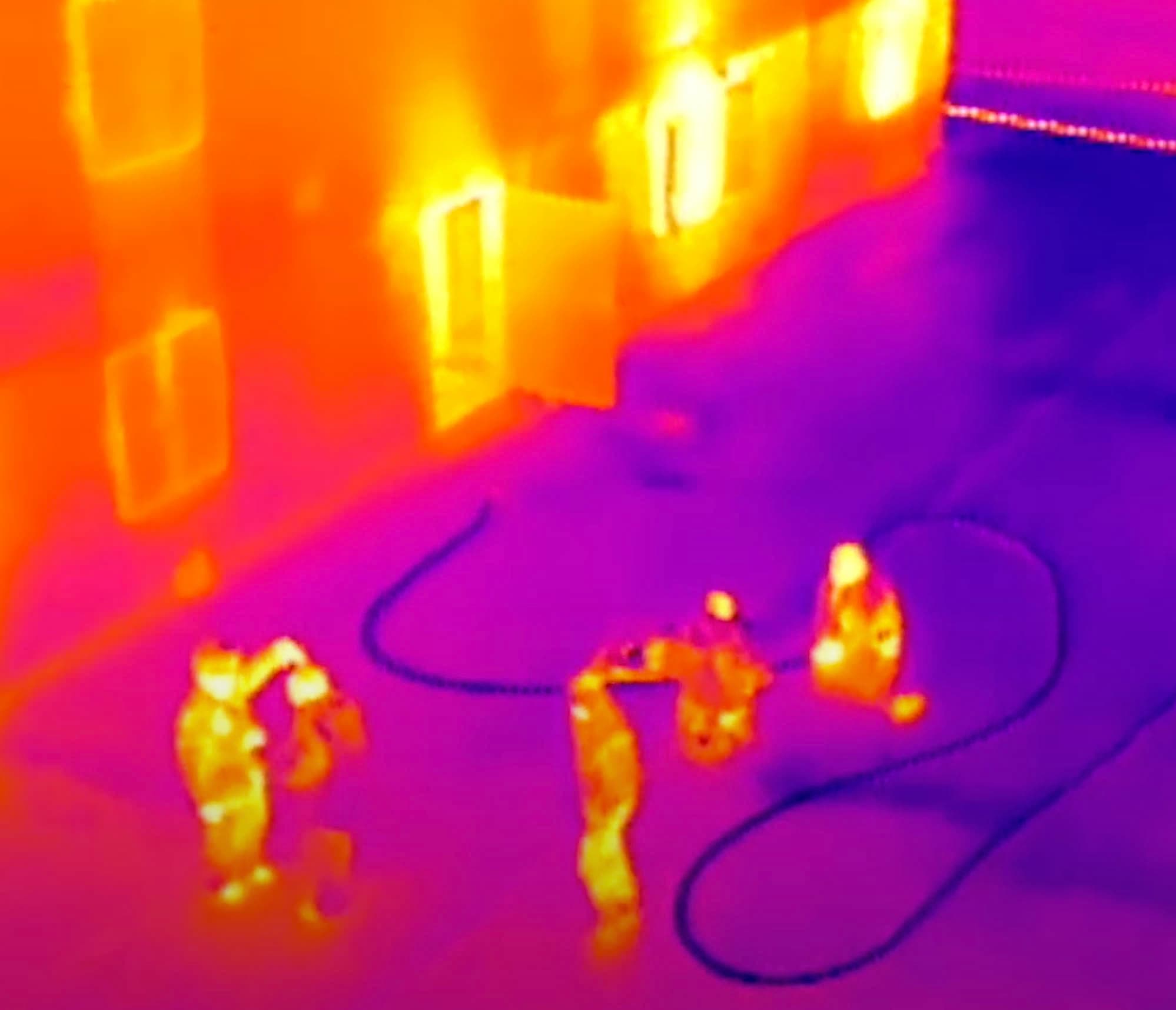
Thermal · Search & Rescue
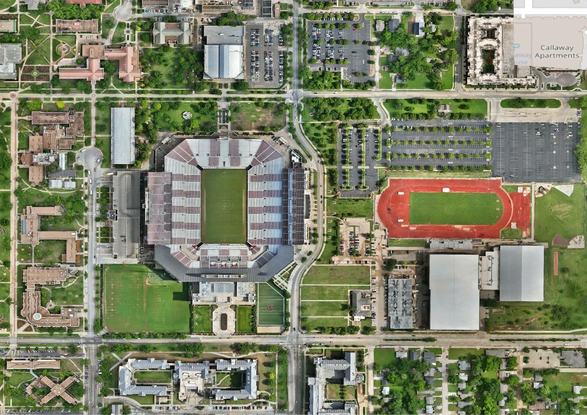
OU Campus · Ortho Map
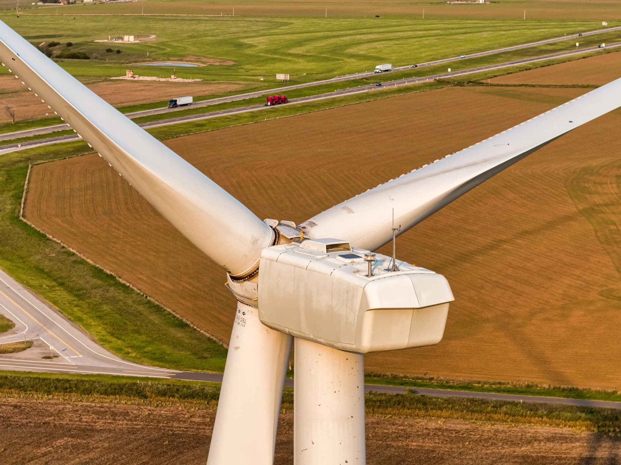
Wind Turbine · Blade Inspection
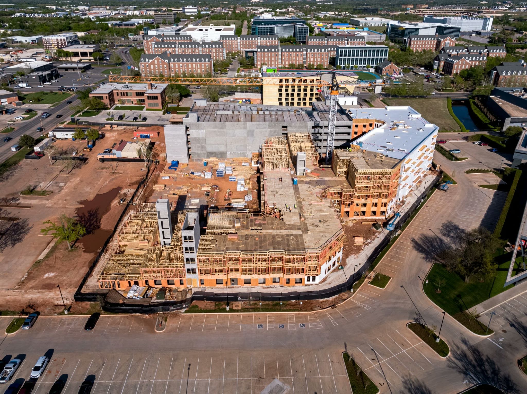
Construction Progress · Framing
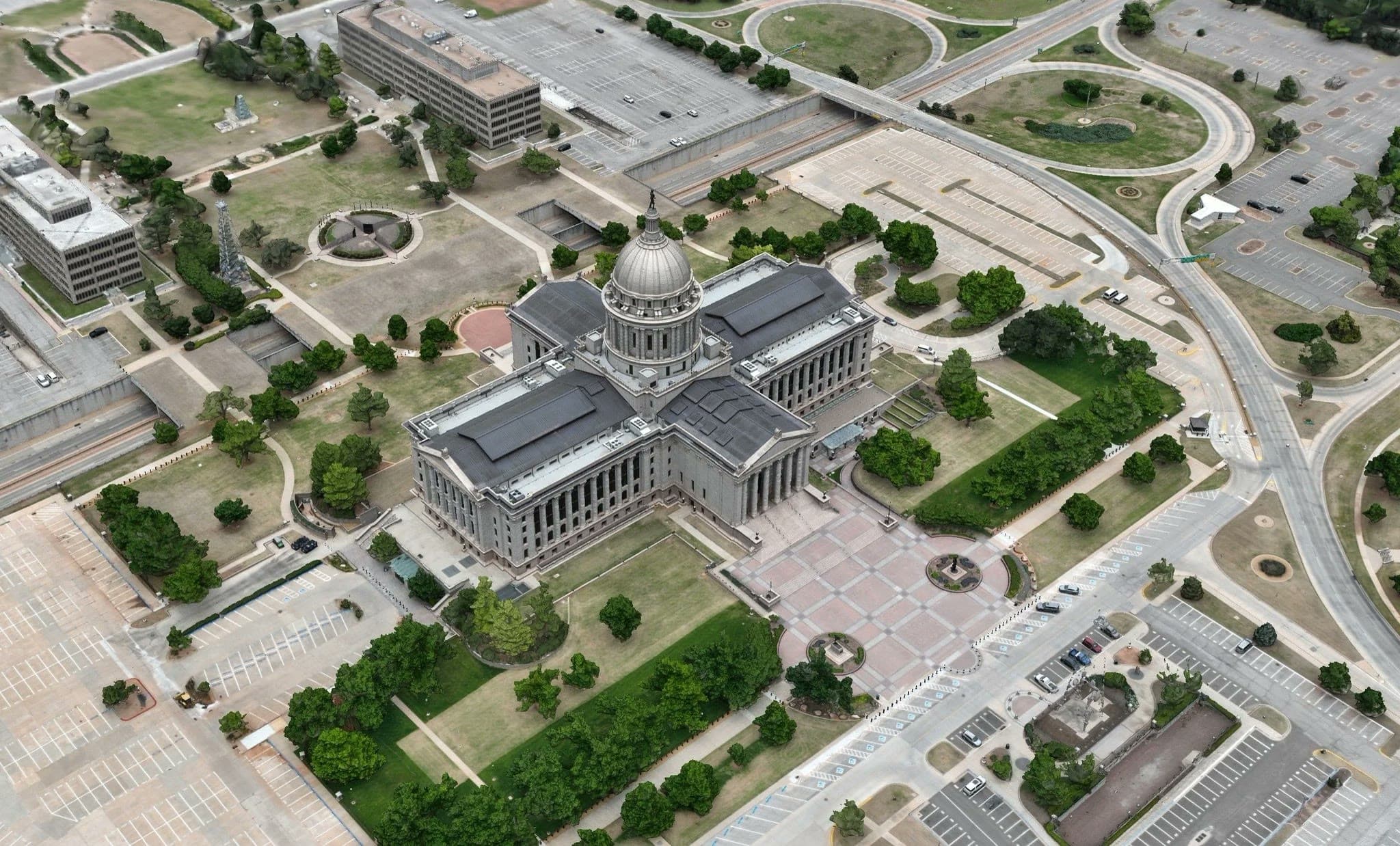
State Capitol · Site Map
Chesapeake Campus · 3D Model
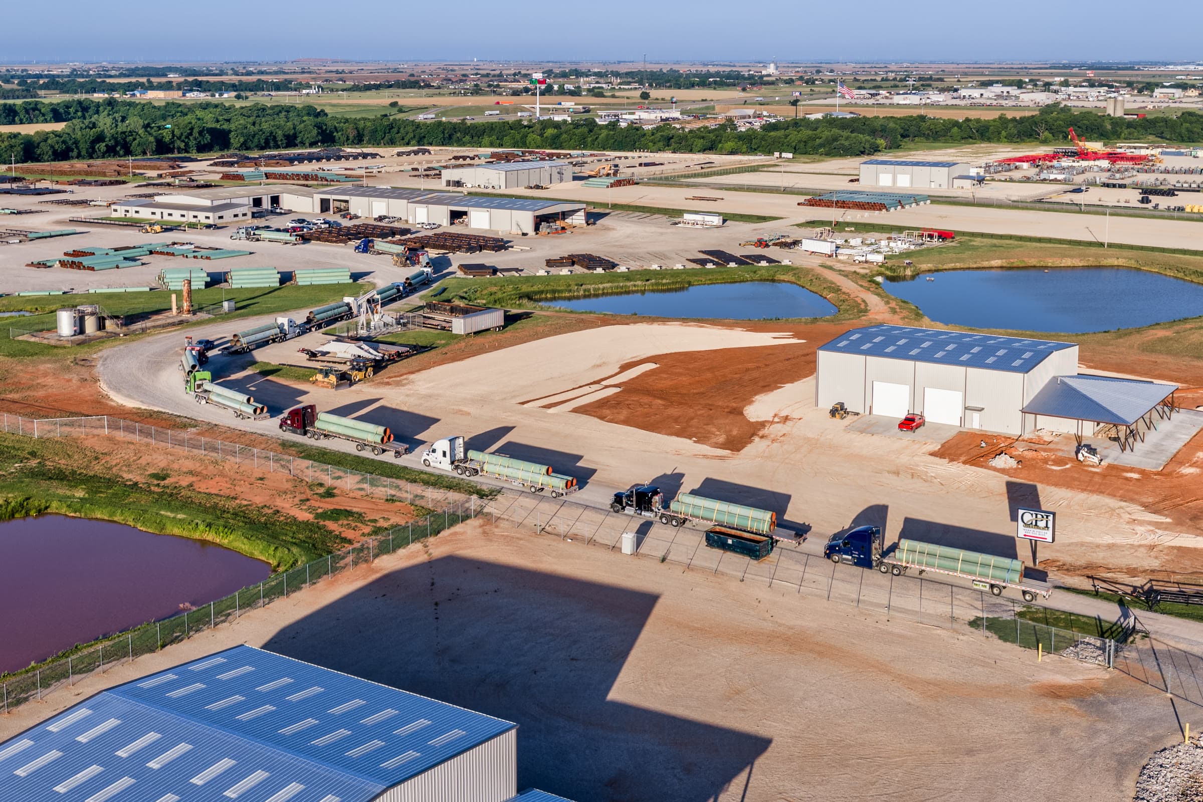
CPI · Progress
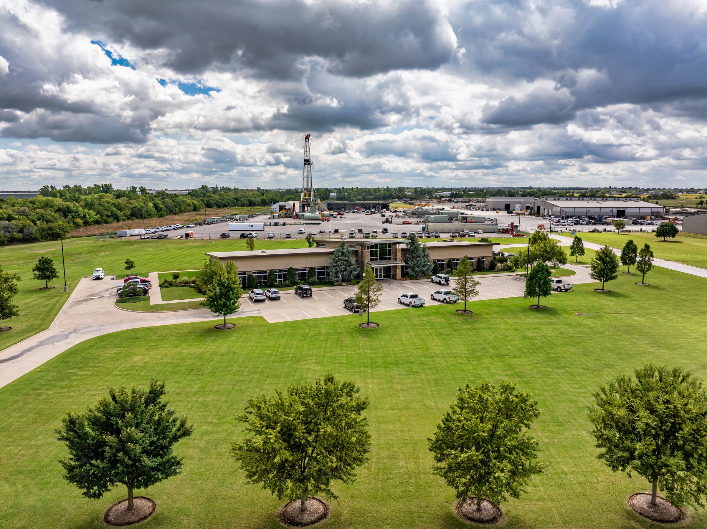
Cactus OKC · Facility
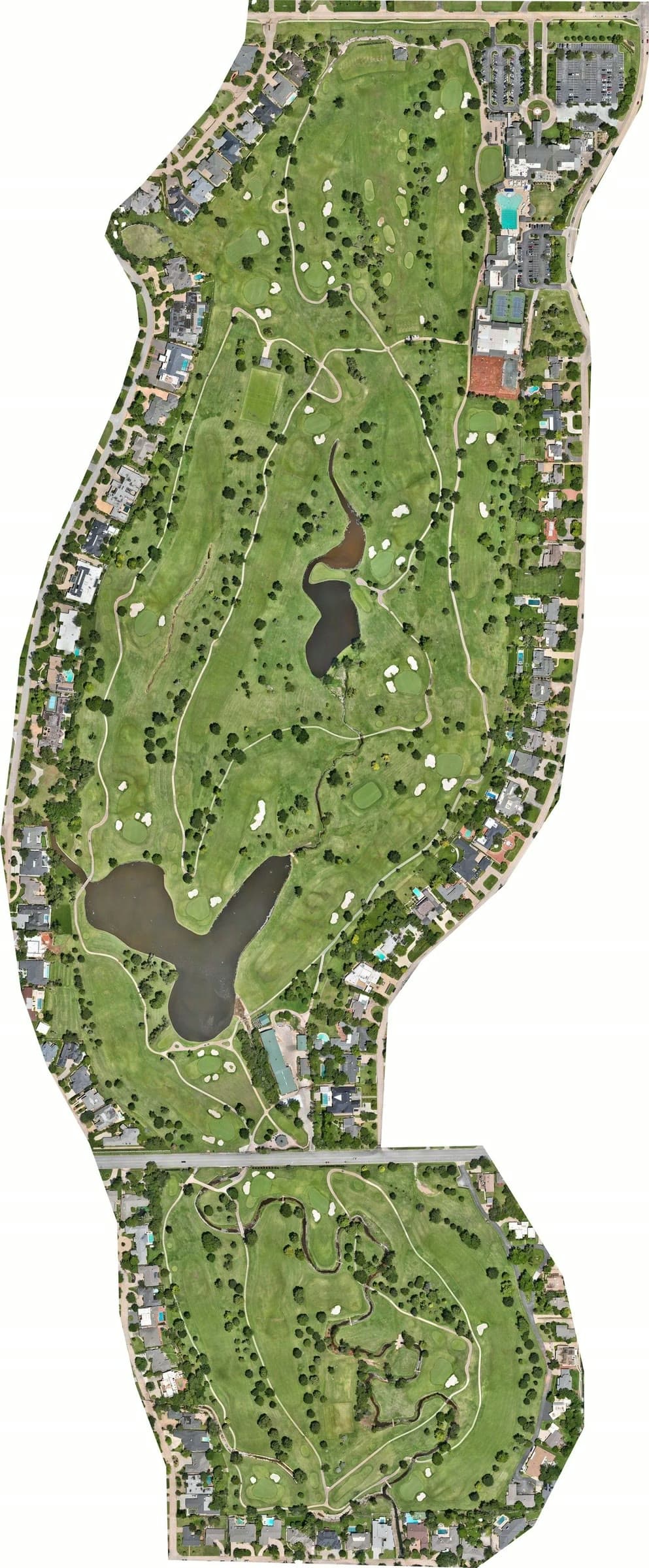
Golf Course · Ortho
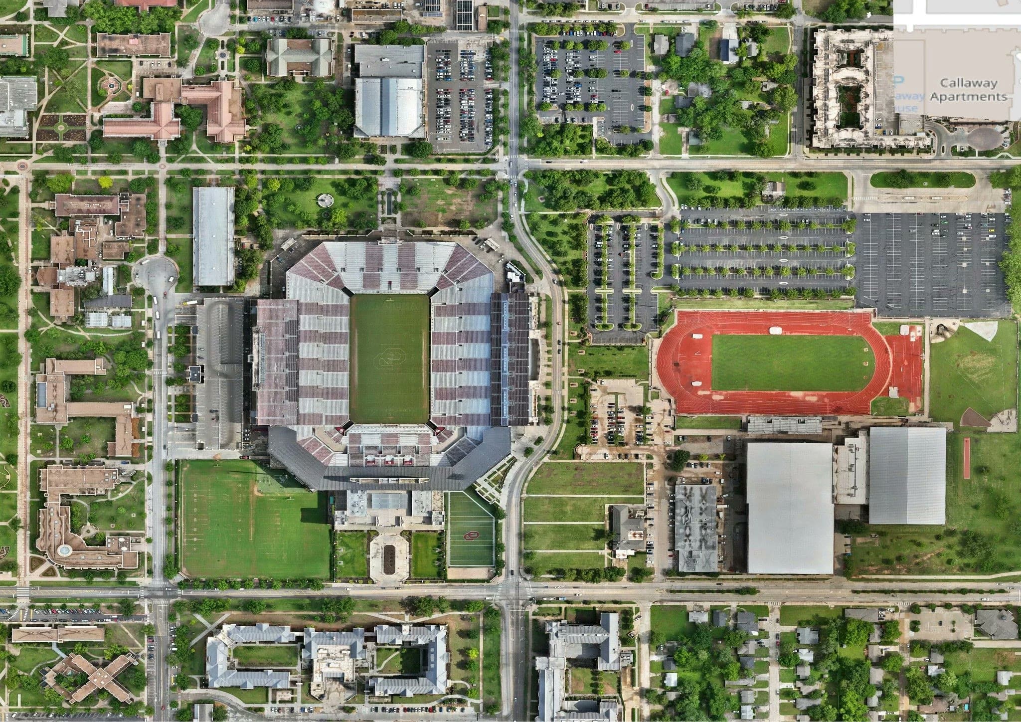
OU Campus · Detail Ortho
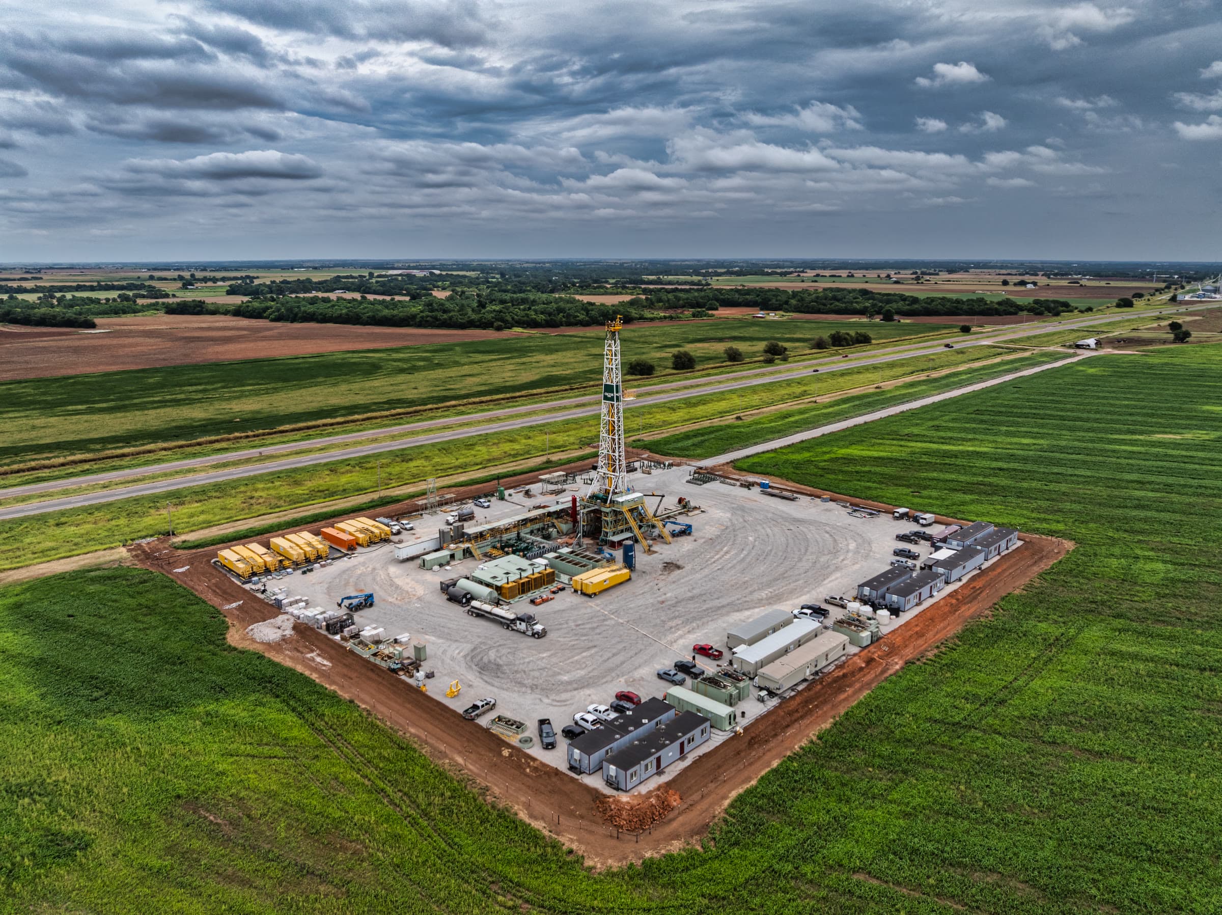
Rig 135 · Aerial
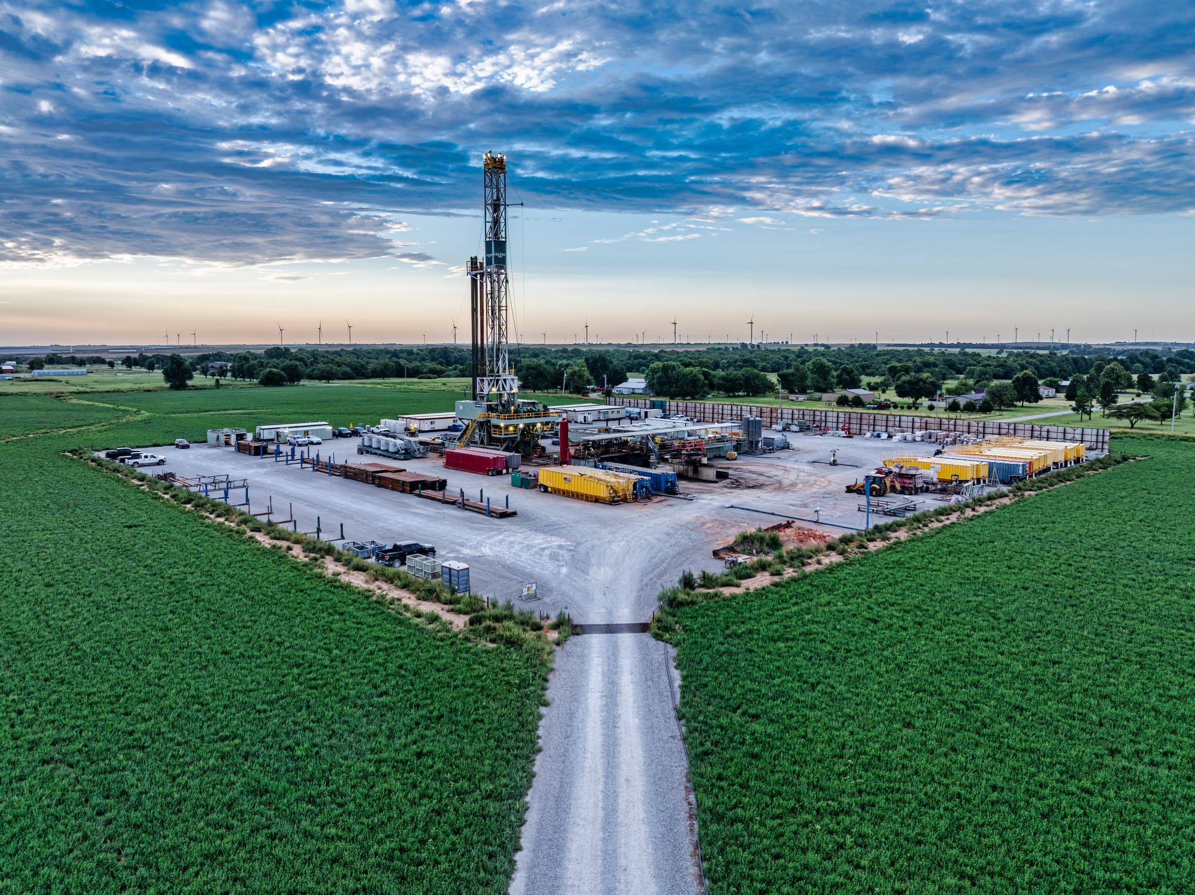
Rig 160 · Aerial
OKANA Resort · Orthomosaic
Roof Scan · Top-down
Thermal · Search & Rescue
OU Campus · Ortho Map
Wind Turbine · Blade Inspection
Construction Progress · Framing
State Capitol · Site Map
Chesapeake Campus · 3D Model
CPI · Progress
Cactus OKC · Facility
Golf Course · Ortho
OU Campus · Detail Ortho
Rig 135 · Aerial
Rig 160 · Aerial
Construction progress, mapping, and inspection work from Oklahoma City to Tahlequah.