A drone photograph is still a photograph. Altitude only changes where you can stand, not whether the frame is composed, exposed, and timed properly. Every shoot starts with the light and the angle we actually want, then works out the flight that gets there.
Work spans business events, marketing campaigns and advertising, architectural and urban aerials, and Oklahoma landscape and nature work. Files arrive fully edited and sized for the campaign, the listing, the press kit, or the wall.
Every shoot ends in finished files, sized for where they're actually going — not a folder of raw frames for someone on your side to sort out.
The frames the shoot was planned around, colour-corrected and retouched at full sensor resolution.
The same images re-cropped and compressed for feed, story, and site use, so nothing gets squashed by an upload form.
Full-resolution exports at print colour and sizing for signage, brochures, or a wall.
Where the brief calls for it, a second pass at sunrise, sunset, or blue hour — the same compositions in the light that flatters them.
Written terms covering where the images can run and for how long, issued with the files rather than negotiated afterwards.
24-48 h
Typical turnaround
Part 107
Certified & insured
Full-res
Delivered, not watermarked
A shoot works backwards from the picture you need. The aircraft, the altitude, and the time of day are consequences of that, not the starting point.
What the image is for decides everything downstream. We agree the shot list, then pick the hour that gives those compositions the light they need — which is often not the hour that suits the calendar.
Shot listControlled-airspace authorisation where it's needed, plus obstructions, access, and who is standing under the flight path. Planned before the case is opened, not worked out on site.
Part 107Compositions bracketed and shot at several altitudes and angles, so the edit has options rather than one frame that has to work. Weather calls are made honestly — a rescheduled flight beats a flat sky.
BracketedColour, horizon, verticals, and clean-up, then export to every size the campaign actually uses. Files arrive by download link, ready to publish.
24-48 hFour briefs that come in regularly, and what each one actually needs from the air.
Brand and product work that needs a scale a ground camera can't give: the facility, the fleet, the site, the event, shot to sit behind copy with room in the frame for it.
Buildings photographed in their context — approach, massing, and what surrounds them. Verticals corrected, so the building reads as designed rather than as a wide-angle lean.
Crowd scale, site layout, and the wide establishing frame that makes an event look like it mattered. Flown around the schedule, not through it.
Oklahoma weather, terrain, and light shot as work in its own right. These are the frames that end up as prints rather than as slides in a deck.
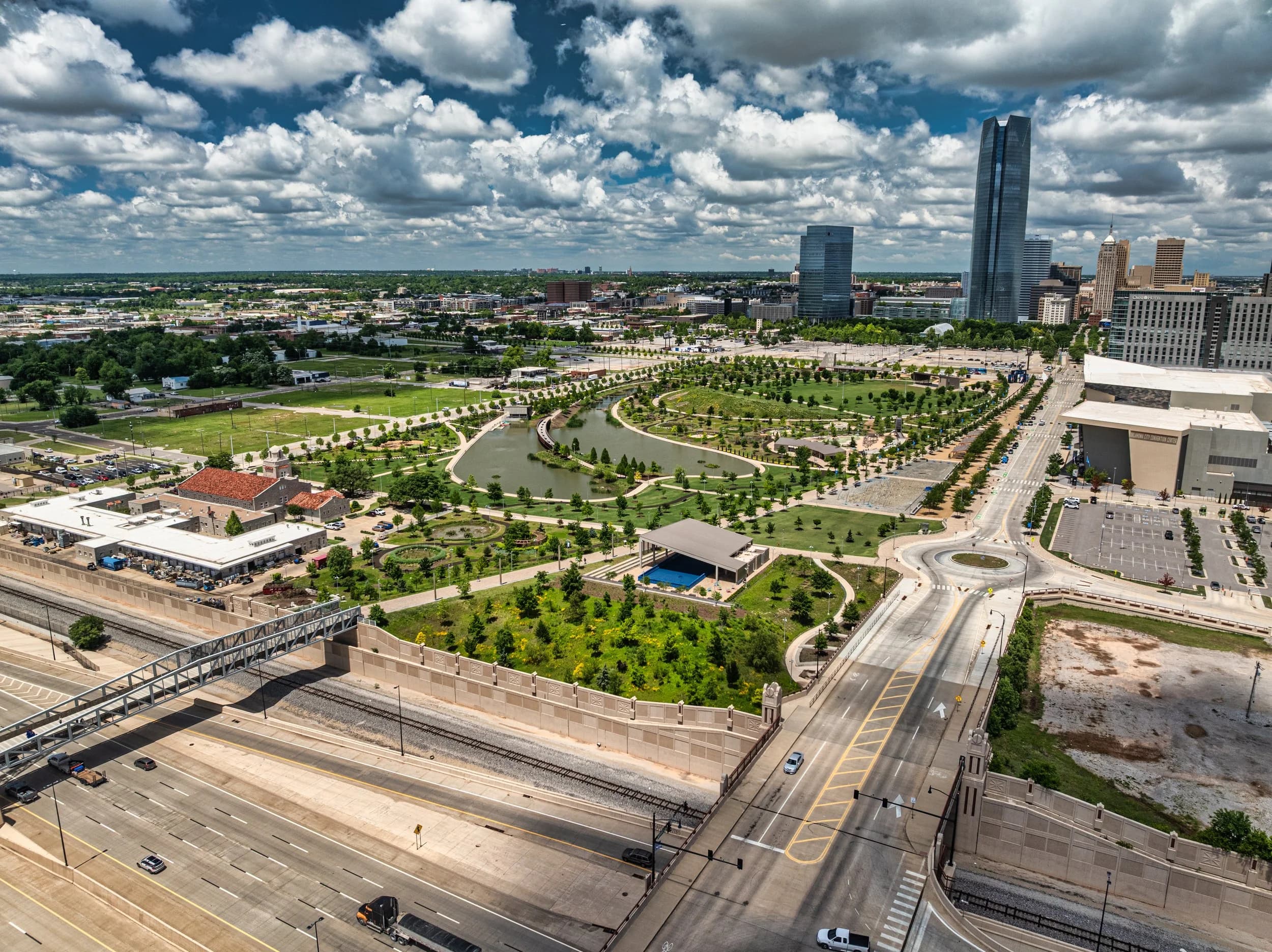
The pictures below aren't a stock library. They're jobs — skyline, capitol, and landscape work shot around Oklahoma City and out across the state.
Aerial stills have been part of this business since 2016, and the same eye that plans a film's establishing shot plans these: composition first, altitude second.
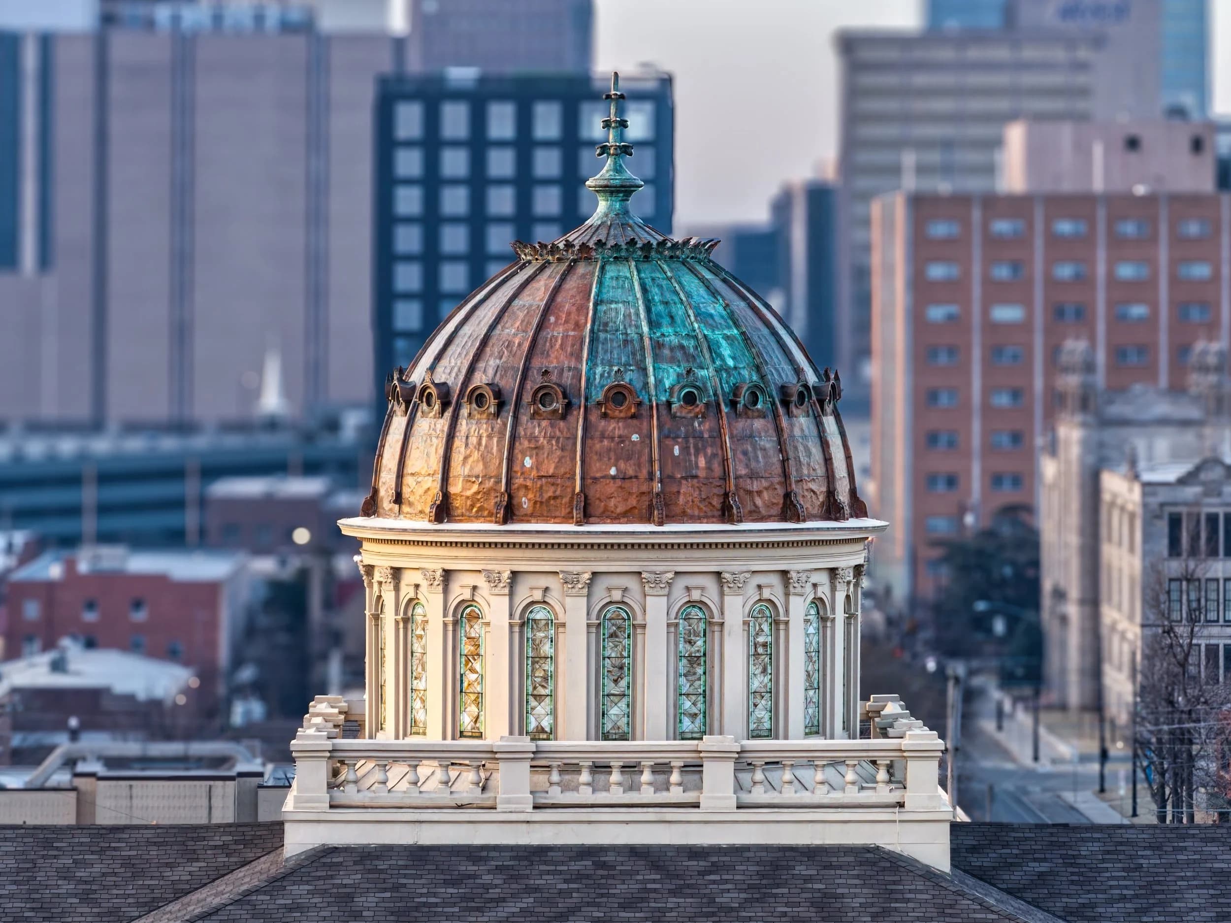
Downtown OKC · Copper DomeOklahoma City skyline, shot into low sun for the copper dome's highlight.
 State Capitol · Site
The Oklahoma State Capitol complex, framed to show the grounds as well as the building.
 Talimena · Byway
Talimena Scenic Byway in autumn — landscape work, flown for the ridgeline light.
It depends on the size of the site and the shot list, but the deliverable is an edited set rather than a card dump — every frame handed over is one we'd put our name to. Extra angles shot on the day stay available if you want them later.
Yes, on request. Most clients only ever use the edited JPGs, but if your team has its own colour pipeline the RAWs come with the delivery rather than being held back as an upsell.
We move it. Flat overcast, high wind, or rain will show in the frames long after the inconvenience of rescheduling is forgotten, and a drone photograph shot in bad light is just a bad photograph taken higher up. Weather calls are made early enough to save everyone the trip.
Usually yes. Most of Oklahoma City sits in controlled airspace, which means authorisation rather than refusal — we request it as part of planning. Some locations need more lead time than others, so tell us where before you fix a date.
Yes — the licence issued with your files sets out where they can run. Tell us up front if the images are going into paid media, out-of-home, or a national campaign, because that shapes the terms and it's cleaner to agree them before the shoot than after.
Yes. The Oklahoma landscape and skyline work is available as fine-art prints, separately from commercial commissions.
The aerial photography drone market sorted by tier — sub-250g compacts, one-inch sensors, Micro Four Thirds and full-frame platforms — and which one is right for the work you do.
A specification checklist for buying a camera drone — sensor, shutter, aperture, bit depth, endurance, and the regulatory details buyers usually discover too late.