Serving Oklahoma since 2016 · FAA Part 107 Certified since 2017
One drone company. Two very different jobs.
Professional Drone Services in Oklahoma City & Nationwide
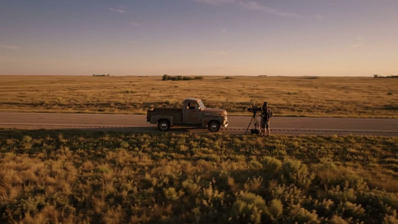
Aerial storytelling for brands, film & live broadcast
Enter Creative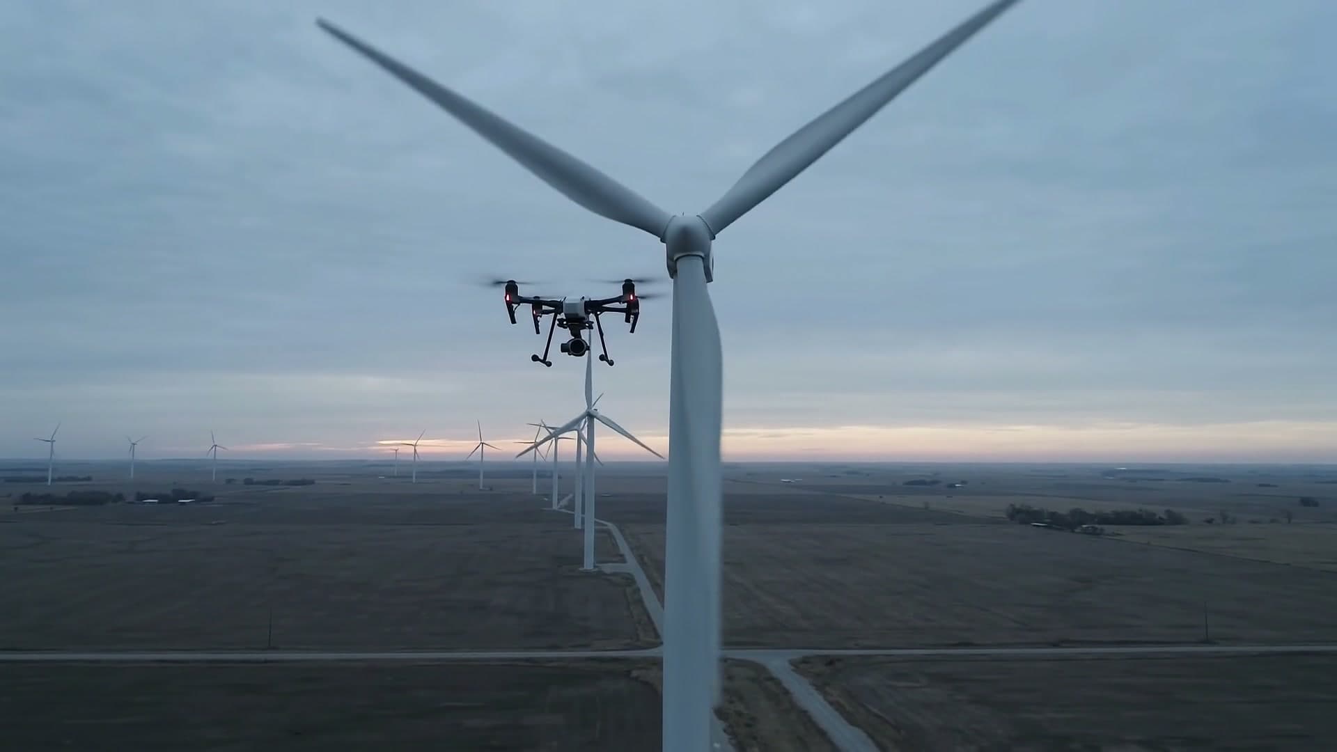
Certified inspection, mapping & data for the built environment
Enter IndustrialOne pilot, one fleet, two very different kinds of work.
Aerial Perceptions is Daren Clodio's drone operation, based in Edmond, OK and flying across the Oklahoma City metro, the state, and nationwide on larger projects. FAA Part 107 Certified and fully insured.
The work splits cleanly in two, and it's worth knowing which side you're on before you go any further: one half is shot for an audience, the other is flown for a record. Same operator, same pre-flight planning, entirely different deliverable at the end.
- Founded
- 2016
- Flying since
- 2013
- Certified
- Part 107, 2017
- Operator
- Daren Clodio
S.01bThe two branches
Pick the branch that matches the job.
Every service on this site lives under one of these two. Both are flown by the same certified operator; what changes is who it's for and what lands in your inbox afterwards.
A track record, not a pitch
Professional results on the record — drone work across Oklahoma City, the state, and the rest of the country.
- 01
FAA Part 107 certified pilots
Certified in 2017 and fully insured. Every flight goes through planning before it's flown, so the risk gets handled on the ground rather than in the air.
Certified 2017 - 02
TV, film, real estate, and industrial
Feature credits on IMDb, live drone coverage for ESPN and three years of Tulsa Tough, listing work through Str8 Shooters, and inspection and mapping for construction and engineering teams.
ESPN · IMDb - 03
Thermal, RTK, FPV, and 4K in one fleet
Matrice 4E for RTK mapping, Matrice 4 Thermal for radiometric inspection, Mavic 4 Pro Cine for film, FPV for the moves a cinema drone can't fly — plus an SDR downlink that puts a live feed into a broadcast.
RTK · Thermal · FPV - 04
Fast turnaround on delivery
Aerial photography edited and delivered in 24–48 hours. Mapping and thermal inspection run to 48, because the processing and the accuracy check are the job, not an afterthought once the flying is done.
24–48 h - 05
Trusted from the metro to nationwide
Real estate agents, production companies, and corporations — OKANA Resort, Coca-Cola, Manhattan Construction, the Cherokee Nation, the University of Oklahoma — across the OKC metro, out to Tulsa, and nationwide on larger projects.
OKC → nationwide
Oklahoma City metro, and a long way past it
We proudly serve the Oklahoma City metro area and surrounding communities. For larger projects, we're available to fly nationwide.
Based in Edmond, OK.Open in Google Maps →
- 01Edmond
- 02Norman
- 03Moore
- 04Yukon
- 05Mustang
- 06Midwest City
- 07Nichols Hills
- 08Guthrie
And beyond
Nationwide for larger projects.
Tulsa, out-of-state productions, and multi-site industrial work.
The things people ask before they book
Certification, coverage, accuracy, turnaround, and the projects behind the claims.
01How long has your company offered aerial drone services in Oklahoma City?
Aerial Perceptions LLC was founded in Oklahoma and has served Oklahoma City and the surrounding metro since 2016. The flying started earlier — first drone in 2013, FAA Part 107 certification in 2017 — so the company arrived with the hours already on it.
02Are you licensed and insured?
Yes to both. All flights are conducted by FAA Part 107 certified and fully insured pilots, backed by extensive training in drone operations. Every flight is planned before the props spin — airspace, obstructions, and the people on the ground below the flight path — so nothing about the day is improvised.
03Do you only do aerial services in Oklahoma?
Oklahoma City and the nearby metro are home ground: Edmond, Norman, Moore, Yukon, Mustang, Midwest City, Nichols Hills, and Guthrie, plus rural central Oklahoma. Beyond that we offer the full range of aerial services nationwide, and travel is quoted up front rather than added afterwards.
04Can you handle both FPV drones and traditional cinema drones?
Absolutely, and often on the same day. We run multiple aircraft for different projects: cinema rigs for the smooth, deliberate, stabilised moves, and FPV for shots that need to be fast, close, and kinetic — interiors, tight geometry, continuous one-takes a cinema drone physically cannot fly.
05Have you done live drone broadcasting for television?
Yes, including FPV, in Oklahoma and nationwide — three years of live drone coverage for Tulsa Tough, plus ESPN. Live means there is no second take, so the aircraft, the downlink, and the fallback plan are all specced for the broadcast before the day.
06Do you offer aerial real estate photography in OKC and beyond?
Most definitely — real estate drone photography has been part of the business since 2016, and we specialise in capturing land and showing what surrounds a property, not just the roofline. Our sister company, Str8 Shooters Photography, is a full-service real estate photography company covering Oklahoma City and the surrounding areas.
07How accurate are your drone orthomosaic maps?
Centimeter accuracy. The aircraft are equipped with RTK (real-time kinematic) positioning, and we measure ground control points on site to verify the result rather than take the GPS at its word. If a number is going into a design or a claim, it gets checked.
08What is your experience in construction progress documentation?
Extensive, and from Oklahoma City out to Tahlequah. Projects include OKANA Resort, the new Cherokee hospital, Andretti Indoor Karting & Games, Coca-Cola, and Hope Lodge in downtown OKC — working alongside Manhattan Construction, the Cherokee Nation, and the University of Oklahoma.
09How fast can we expect deliverables?
It differs with the service. Typical aerial photography is edited and delivered within 24–48 hours. Bigger projects like aerial mapping and thermal roof inspections can take up to 48 hours, because the processing and the accuracy check are the job — not an afterthought once the flying is done.
Ready when you are
Tell us what you need in the air.
One conversation and you'll know whether we're the right people for it, what it takes to fly, and what it costs. No brochure, no discovery call about a discovery call.